

McKenzie Maps
Isle Royale National Park Maps
Isle Royale National Park Maps
Regular price
$12.45 USD
Regular price
$0.00 USD
Sale price
$12.45 USD
Unit price
per
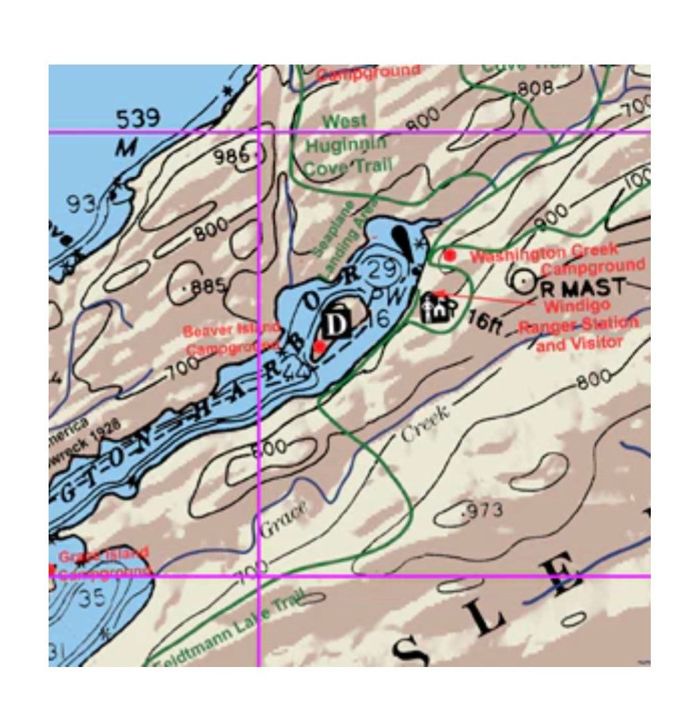
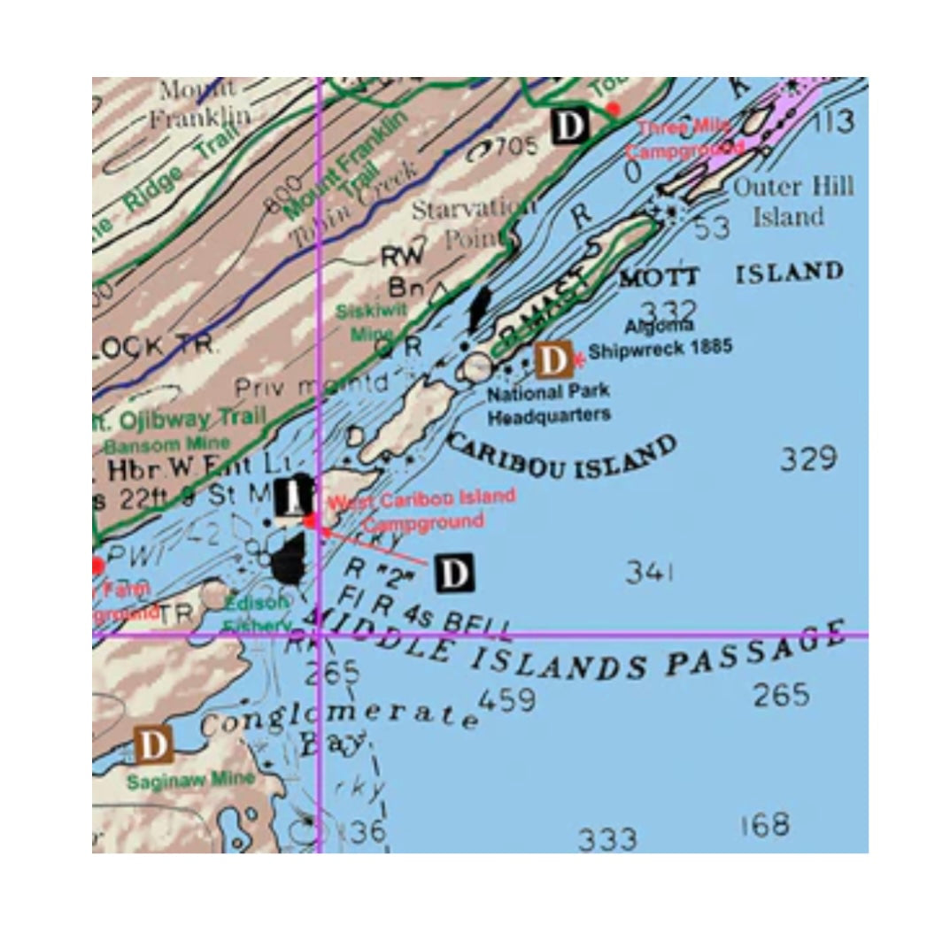
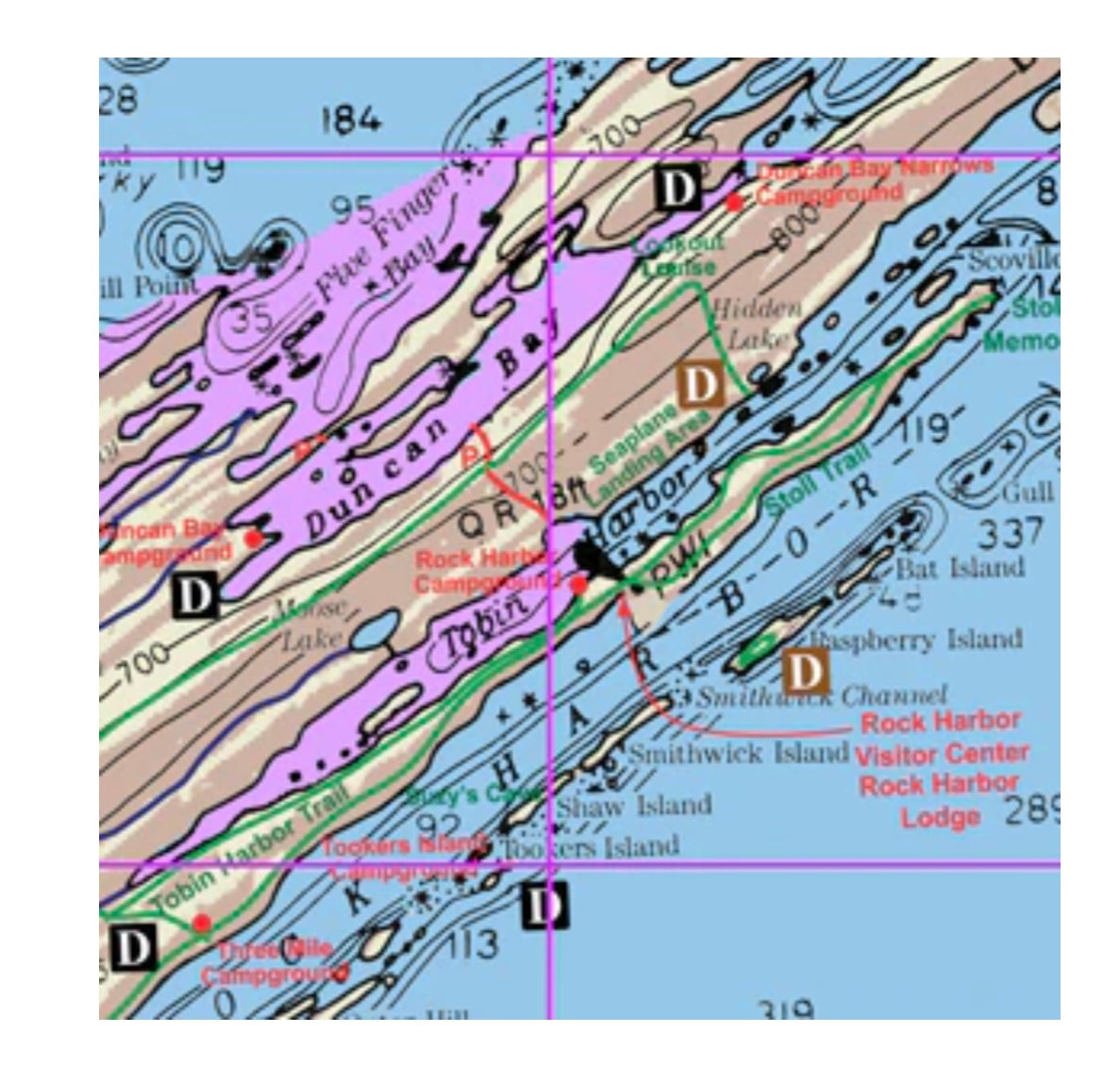
Map West, details the western portion of Isle Royale National Park. From Lake Desor West, to Grand Portage, South to Fishermans Reef, and Rainbow Point.
Map Central, details the central portion of Isle Royale National Park. Covers from Amygdaloid Island on the North, West to Lake Desor. From Rock Harbor West, to Siskiwit Bay on the South.
Map East, details the eastern portion of Isle Royale National Park. Covers from Gull Rocks West, to McCargoe Cove on the North and Outer Hill Island on the South.
Scale is 1:64000.
Couldn't load pickup availability